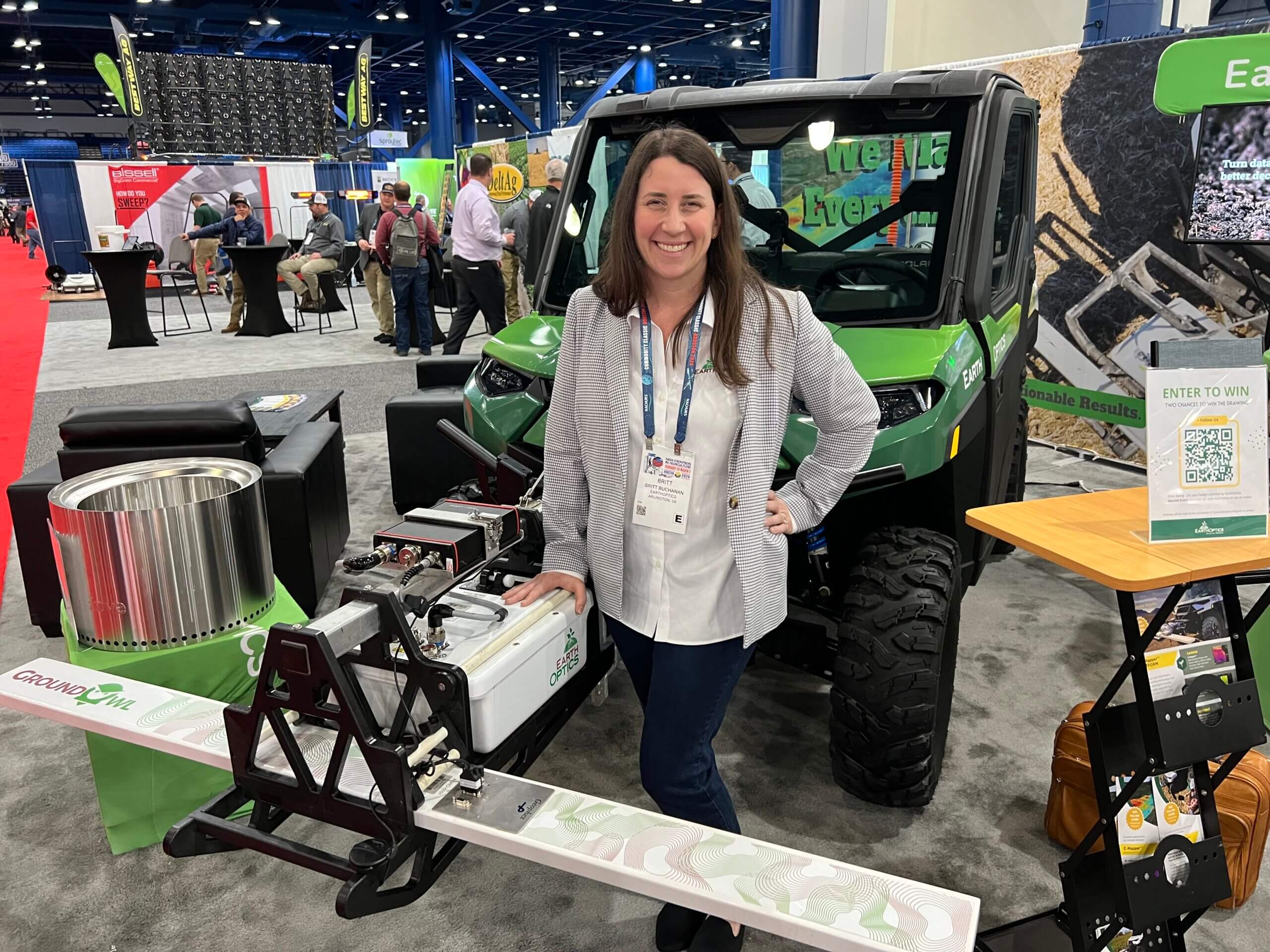
 Farmers and agronomists can now use their ATV and evaluate soil conditions at 20-to-30 miles per hour. EarthOptics has added remote sensing technologies with machine learning to create real-time data maps. In addition to information on fertility and soil moisture, EarthOptics Sales Director Britt Buchanan said these tools can measure carbon. “Previously, it wasn’t really a measured attribute because of the expense of measuring carbon accurately,” said Buchanan. “You have to measure total carbon, organic carbon, and bulk density to understand the tons of carbon in the field and how it changes over time, but this technology insight makes it far more cost-effective to get that highly accurate measurement done well.”